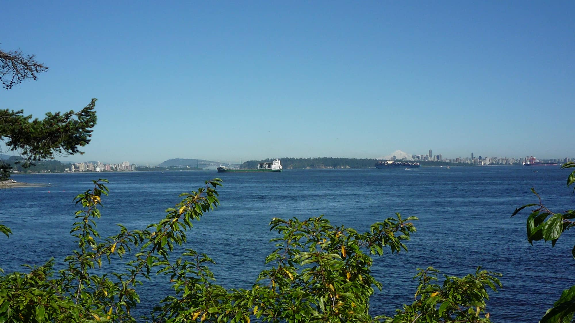
 ▲ Elevation: 320m · South Slope
$6,450,000
The Ridge at Eyremount
British Properties, West Vancouver
5 Beds · 6 Baths · 5,800 Sq.Ft
Solar Aspect:Direct South Sun (+3.2 hrs/day)
Request Elevation Profile & Audit →Contour lines determine solar trajectory, winter driving conditions, microclimate rain shadow, and building parcel grades. Local authority intelligence from sea level to the mountain ridge.
Panoramic South-Facing Mountain Aspect
Properties evaluated by topographical contours, natural sunlight exposure, and engineering slope stability.
▲ Elevation: 320m · South SlopeBritish Properties, West Vancouver
 ▲ Elevation: 180m · Unobstructed Harbour
Panorama Village, West Vancouver
 ▲ Elevation: 410m · Alpine Benchmark
Whitby Estates, West Vancouver
Illustrative elevation analysis based on North Shore topography. Real client websites map to your target territory.
North Shore mountains cast long winter shadows. Understanding ridge lines determines whether a home receives sun or shade in November through February.
Road accessibility, winter tire requirements, municipal transit routing, and school bus routes change dramatically at the 300m elevation contour.
Parcel retaining walls, bedrock blasting requirements, foundation grading, and stormwater management dictate long-term holding costs.
Detailed slope aspect analysis, snowline elevation checks, and subarea pricing tailored to your parcel coordinates.
Interactive preview. Nothing is sent or saved.